
Presentation
Presentation
At the start of this video, click on “Spanish” in the menu “Caption settings” for Spanish subtitles.
Watch the video as many times as you want.
How can we locate where we are on the Earth? We need a point of reference. Imaginary lines of latitude
and longitude are drawn on maps to describe where places are on Earth. In the video the Equator and Greenwich Meridian lines
are yellow.
The lines of latitude are parallel circles that go horizontally around the Earth. They indicate
the position north or south of the Equator The Equator is the middle line that divides the Earth into two equal parts. The lines of longitude go vertically from pole to pole. They indicate the position east or west
of the Greenwich Meridian. The world’s time zones are set from here. |
In the following activities we are going to:
- learn more about terrestrial coordinates
- find out about a human invention which can locate any point on the planet
- learn about different monuments -and make a recording in Google Earth.
Are you ready? Let’s get started!
|
|
Help
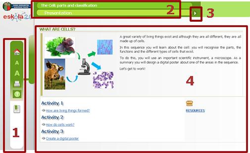
- Menu on left(in order from top to bottom): first page of the sequence (home) icon, letter size icon, print icon, help icon and index icon.
- Name of material and title of the section bar.
- Arrows for navigation (next or last page).
- Space for content.
Autor:
Lorem ipsum dolor sit amet, consectetur adipisicing elit, sed do eiusmod tempor incididunt ut labore et dolore magna aliqua. Ut enim ad minim veniam, quis nostrud exercitation ullamco laboris nisi ut aliquip ex ea commodo consequat. Duis aute irure dolor in reprehenderit in voluptate velit esse cillum dolore eu fugiat nulla pariatur. Excepteur sint occaecat cupidatat non proident, sunt in culpa qui officia deserunt mollit anim id est laborum.
Copyright:
Lorem ipsum dolor sit amet, consectetur adipisicing elit, sed do eiusmod tempor incididunt ut labore et dolore magna aliqua. Ut enim ad minim veniam, quis nostrud exercitation ullamco laboris nisi ut aliquip ex ea commodo consequat. Duis aute irure dolor in reprehenderit in voluptate velit esse cillum dolore eu fugiat nulla pariatur. Excepteur sint occaecat cupidatat non proident, sunt in culpa qui officia deserunt mollit anim id est laborum.
Resources
In this sequence we will be using:
A word processor |
|
Other applications |
|
Web References |
|
Other resources |
|
Index
- Terrestrial Coordinates: exploring Planet Earth
